
Arvada ZIP Codes by Postal Area
USPS groups seven ZIP labels under the ARVADA postal city name. That grouping is the starting point for an Arvada ZIP code directory, not a legal city polygon. The table keeps the researched delivery clues and the gaps visible. Where a post-office station was not established by the official sources, the entry says so rather than assigning a route by guess.
| ZIP | Areas Covered | Post Office | Notes |
|---|---|---|---|
| 80001 | Arvada postal-city grouping | Arvada label; specific station not located | Exact delivery geography needs a USPS address check; not a city-limit polygon |
| 80002 | Arvada and Olde Town-side postal label used in city records and the City Hall mailing sample | Arvada label; station assignment not established | Mailing ZIP can differ from situs ZIP |
| 80003 | Arvada postal grouping; Indian Tree area has an official USPS station | Indian Tree station, 7765 Wadsworth Blvd, 80003-9998 | Postal city may cross a legal boundary or parcel jurisdiction |
| 80004 | Arvada postal grouping | Arvada office, 5885 Allison Street, 80004-9998 | Station location is not a ZIP boundary map |
| 80005 | Arvada postal grouping | Arvada label; station not located in the static official results | Verify the address and ZIP+4 |
| 80006 | USPS Arvada grouping | Exact official delivery geography not located | Not shown in the inspected Jefferson assessor ZIP dropdown; verify before treating it as a county parcel |
| 80007 | USPS Arvada grouping and Jefferson assessor ZIP option | Arvada label; station not located | Possible city and county mismatch; verify the address and parcel |
80003 and 80004 have named station examples, while the other rows retain the limits of the official source set. None of the rows should be read as a count of residents or as a neighborhood roster. A ZIP is a postal key that can help narrow a property query, not a substitute for the parcel, voter, or deed record.
USPS Check for an Arvada Address
The USPS ZIP Lookup has two useful modes. Address search checks a particular delivery address and can supply a deliverable ZIP+4. City and state search checks the broader postal label. Use the address mode when a parcel, permit, directory line, or tax mailing address must be matched to current delivery information.
The city and state mode is helpful for a first postal check, but it cannot tell whether land sits inside Arvada, in unincorporated Jefferson County, or in Adams County. A station address also does not draw a boundary. Pair USPS with the county parcel system and a dated city-limit or municipal-status check.
The USPS capture illustrates the public route for validating the postal side of an Arvada ZIP directory.
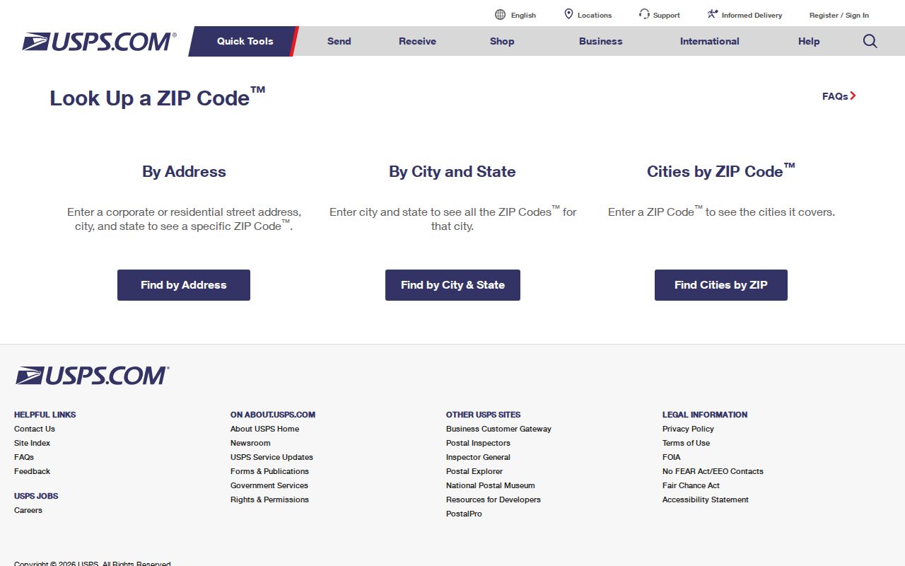
A verified ZIP+4 improves delivery matching, but it still does not identify an occupant or decide which county custodian holds a land record.
Why Arvada ZIP 80006 Needs Care
80006 is the clearest local ZIP research gap. USPS’s Arvada grouping includes it, yet the Jefferson assessor ZIP list inspected for current address searches exposed 80001, 80002, 80003, 80004, 80005, and 80007, not 80006. The source set did not locate an official delivery map or a fixed neighborhood crosswalk for the missing option.
That difference has a simple working rule: verify a real 80006 address through USPS, then test the municipal status and parcel through the correct county system. Do not count every 80006 mailing label as an Arvada city parcel, and do not treat the assessor omission as proof that no 80006 property exists. The omission is an explicit gap in the inspected portal.
Note: A postal grouping and an assessor dropdown can disagree because they serve different purposes; preserve both results with the date each was checked.
Search Arvada Property Records by ZIP
The Jefferson assessor address search accepts Postal Code with City and Street Type. Its result grid can return property address, city, ZIP, PIN, AIN, TAG, owner, property class, and mailing address. Use the ZIP to narrow parcels, then inspect the full address and county status. Owner search is not a ZIP-wide resident filter.
The Jefferson Treasurer property search adds owner, tax-account, address, PIN, AIN, tax-authority, and tax-detail routes. Its address mode uses a house number, pre-direction, street name, street type, unit, city, and postal code. Property detail is free and public; payment functions are separate. The tax account supplies current payment and levy context, not a complete history of who lived at a parcel.
| Treasurer field | Type | Research note |
|---|---|---|
| Last Name | text | Owner search; at least one name is needed |
| First Name | text | Owner search; pairs with Last Name |
| Address Number | text | Address search; placeholder eg 12345 |
| Pre-Directional | dropdown | Address search |
| Street Name | text | Address search |
| Street Type | dropdown | Address search |
| Unit Number | text | Address search |
| City | dropdown | Address search; use with Postal Code |
| Postal Code | dropdown | Address search; current portal field |
| PIN/Schedule Number | text | Example 123456 or 300123456 |
| AIN/Parcel ID | text | Example 1234567890 or 12-345-67-890 |
| Authority Name | text | Tax-authority search |
Arvada eTRAKiT can search a site address, permit, parcel, or project, but the research did not establish a ZIP-wide resident mode. Use its address result after the USPS and parcel checks, and keep project contacts tied to their recorded role.
The tax portal capture shows the owner, address, PIN, AIN, and tax-authority paths available around a ZIP-keyed property search.
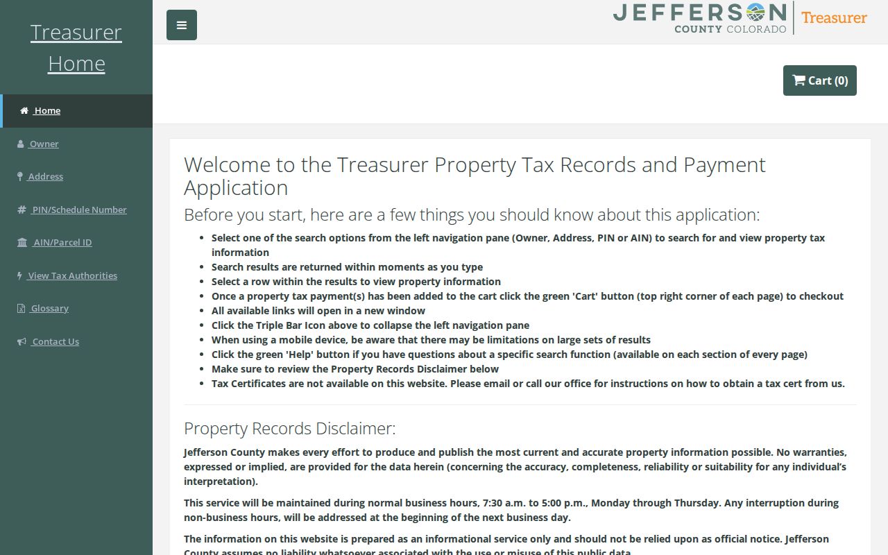
After a ZIP narrows the parcel set, use the assessor card, treasurer detail, and map together so mailing and situs fields are not silently merged.
Arvada ZIP Records Use Different Address Keys
A postal address is the delivery label. A situs address is the physical parcel location. A mailing address is where tax correspondence goes. A legal description is the subdivision, lot, block, tract, section, township, range, or metes-and-bounds language used in a deed or plat. The same property can carry all four forms at once.
- ZIP
- A five-digit USPS delivery area. It is useful for mail routing and selected portal filters, but it is not a city-limit line.
- ZIP+4
- A four-digit extension that narrows a delivery address beyond the five-digit ZIP. USPS is the source for a current address match.
- PO-box ZIP
- A postal route used for box delivery. It may not describe the physical location of a parcel or household.
- Unique ZIP
- A ZIP assigned to one organization or delivery destination. No Arvada unique-ZIP assignment was verified in the official research.
- Carrier route
- A delivery route identifier inside postal operations, not a public map of city neighborhoods or residents.
The Jefferson City Hall sample makes the distinction concrete: the parcel’s situs ZIP is 80004, while its displayed Arvada mailing ZIP is 80002. A directory search that keeps only the mailing ZIP can point to the wrong geographic question.
Find Arvada Residents ZIP by ZIP
A ZIP-keyed workflow narrows a location without pretending that every portal returns a resident list. Begin with delivery validation, then work from the parcel or a known person.
- Run the complete address through USPS. Save the postal city, five-digit ZIP, and ZIP+4 if the lookup returns one.
- Check the Jefferson assessor address mode with City, Street Type, and Postal Code. If the address is outside the county result, test municipal status and the Adams County parcel route.
- Use the treasurer for tax authority and payment detail, then use jMap to inspect parcel geometry, boundary, zoning, flood, subdivision, and district layers.
- Search Arvada eTRAKiT by site address or project when permits, inspections, contacts, or a dated project record answer the question.
- For one known voter, use Colorado’s name, ZIP, and birthday match. A controlled voter-file request has separate eligibility, fee, and confidentiality rules.
Once a ZIP narrows the property set to a street or address range, the Arvada street directory workflow can follow the parcel, deed, permit, and voter limits at street level. A ZIP alone cannot establish who occupies a building.
Arvada ZIP Boundaries and City Limits
The City of Arvada maps and property page and county address tools show legal or municipal context; USPS shows delivery context. Arvada spans Jefferson and Adams County. An Arvada mailing label can attach to land outside the incorporated boundary, and a city address can require a county portal different from the one a postal label suggests.
Use Jefferson County Address Lookup to enter the house number and select a street. Its output reports municipal or unincorporated status and links to map, parcel, and tax information. The assessor city and ZIP pair is a search constraint, not a legal boundary declaration. No official ZIP-boundary GIS layer or ZIP split year was located.
Boundary check. Keep postal city, ZIP, situs, mailing address, legal description, county, and municipal status as separate fields. A ZIP match should narrow the next search, not settle jurisdiction by itself.
Annexation Around 6809 State Highway 93
The water-treatment project at 6809 State Highway 93 is a local boundary example. The city’s acquisition announcement says land previously in unincorporated Jefferson County was purchased on December 10, 2025. The annexation and rezone materials describe proposed areas totaling 25.26 acres from a larger holding and an existing house, barn, and equestrian setting.
The point for a ZIP directory is not to turn the project into a household count. A boundary or annexation action can change which city or county office holds a current permit, planning file, or parcel question without changing the postal label. Compare the project date, parcel geometry, deed description, and municipal status before joining an older address record to a current ZIP result.
Note: Annexation materials are dated project records; they should be paired with a current parcel and USPS check rather than treated as a permanent ZIP map.
Historical Arvada Address Routes
Older address work uses different keys. The Denver Public Library Colorado Directories Index organizes city and telephone directories by municipality, county, and year. The Library of Congress has Colorado volumes with Arvada entries, while local library and historical collections add newspapers and microfilm. Ask for the publisher and year before assuming a volume is a reverse directory.
A 1953 telephone-directory note says Arvada numbers changed to HArrison 4 numbers. That is an exchange change, not a street readdressing event. Search the printed street, locality, name variants, and year together. Pair a directory line with a deed, newspaper notice, Sanborn map, or later assessor parcel before treating it as a continuous address trail.
The city’s library redesign and temporary access route make a call-ahead check sensible for local-history work. If a historical volume is not online, use the library reference desk, the Historical Society, or the Colorado State Archives route rather than substituting an unverified ZIP-to-neighborhood claim.
Arvada ZIP Directory Privacy Limits
A ZIP directory is a geography aid, not a public roster. The official research found no per-ZIP Arvada registration count, complete ZIP-to-neighborhood crosswalk, or open ZIP-wide list of residents. The state voter lookup confirms one registration match with four fields. A full voter file is a separate state or county request product, and public fields remain subject to confidential-voter procedures.
Parcel, tax, permit, and deed systems can expose an owner, mailing line, project contact, or recorded party for a particular record. They do not identify every household member, utility customer, delivery recipient, protected voter, or confidential vital-record subject. eTRAKiT contacts are tied to a project role. A USPS result proves delivery information, not residence.
Lawful use. Use Arvada ZIP and public-record information for personal, lawful research, family history, property curiosity, and civic review. Do not use a ZIP, name, or address to stalk, harass, intimidate, or harm anyone.
For a missing city record, use the Arvada records and requests route and identify the narrow record, date range, and jurisdiction. Ask the custodian about fees or redaction before requesting broad material. A careful ZIP directory states what each source can show and what it cannot.