
Arvada Neighbor Lookup Sources
A block lookup works best when each source has one purpose. jMap supplies mapped parcels and context layers. The assessor and recorder supply selected parcel or instrument facts. A voter match can answer one person’s registration question, but it cannot produce a street roll. Civic directories and meeting files show named groups or public activity, while historical newspapers and directories preserve older address clues. These sources can describe a block without proving that every person near an address is a household member or current neighbor.
| Source | What It Shows About a Block | Access |
|---|---|---|
| Jefferson County jMap | Touching parcels, parcel IDs, boundaries, zoning, flood, districts, and aerial context | Free map; click and browse |
| Assessor address grid | Owner, situs, mailing, PIN/AIN, class, and tax fields for selected addresses | Free query; not an occupant list |
| Recorder index | Transfers, liens, plats, instrument dates, and legal descriptions tied to parcels | Free index; copy rules apply |
| eTRAKiT permits | Projects, inspections, contacts, contractors, and dated site activity | Free search; some attachments need login |
| Voter match or file | One registration match, or controlled data under Colorado rules | Individual fields; protected data stays restricted |
| Neighborhood Leader Network | Named civic associations and a city neighborhood map | Free city directory; no member roster |
| Meetings and MuniDocs | Public development notices, agendas, comments, resolutions, and project names | Online city records or public-record request |
| Historical directories and newspapers | Listed subscribers, address notices, obituaries, moves, and past block context | Library, LOC, CHNC, or archive access |
| Metro district map | District geography and governance trail | Free city map; district files separate |
Owners, mailing addresses, permits, and civic roles are not interchangeable. A tax mailing address can point elsewhere, a permit contact can be a contractor, and a parcel can contain people who never appear in a public filing. Keep the address, parcel ID, source, and access date beside every observation.
Mapping Arvada Neighbor Blocks
The Jefferson County jMap search widget offers several ways to reach a starting parcel. Address Locator accepts an address and can return up to six suggestions and 50 results. AIN/PIN uses the PIN field with a format such as 40-023-00-012 and fuzzy matching. PIN/Schedule uses AUMENTUM_PIN, Owner’s Name accepts the LAST FIRST pattern, Street Intersection accepts two streets, and the ArcGIS World Geocoder handles a general address or place.
Once the target is visible, the adjacent-parcel method is a repeatable flow:
- Search the address, PIN, AIN, owner, or intersection and zoom until parcel boundaries are clear.
- Click the target polygon and save its PIN/AIN, legal-description link, visible layer names, and map scale.
- Pan to the parcel touching each side, click that polygon, and record the same identifiers.
- Turn on the city and county boundary layers to check whether an apparent neighbor crosses jurisdiction.
- Use the assessor or recorder for the selected parcel, not the map alone, when a recorded owner or instrument matters.
This block method keeps the task about mapped relationships. It does not create an automatic list of all people within a radius. The whole named-street chain belongs in the Arvada street directory, where address search, deeds, permits, and street variants can be handled as a separate task.
Arvada Neighbor Map Layers
jMap’s LayerList and Legend help explain why two nearby parcels may have different public context. The available layers include parcels and assessor links, streets, the city and county boundary, zoning and planned development, floodplains, fire, ambulance, water and school districts, aerial imagery from 2006 through 2024, subdivisions and plats, permits and facilities, and the public land survey system.
A map label is not a deed. Use the parcel popup to reach the assessor record, then use the PIN/AIN and legal description to compare a recorder instrument. A road, alley, subdivision line, district edge, or city boundary can make physical adjacency different from a shared government record trail. The same check matters for an Arvada address near the Jefferson and Adams county split.
- Parcel
- A mapped unit used by the county for property and tax records. It is not a list of everyone at the location.
- PIN or AIN
- A county parcel identifier that helps connect the map, assessor result, tax account, and recorded instrument.
- Legal description
- The subdivision, lot, block, tract, or other recorded land identity used when a street label changes.
Arvada Neighbor Maps Need a Measurement Note
DrawBuffer and Measurement are useful for studying a block length, road edge, creek, or distance from a starting parcel. PropertyReport can create output for a selected property, and Print preserves a map snapshot. Attribute Table can expose rows for a chosen layer. These tools make a neighbor observation easier to reproduce, especially when the map date, scale, and layer set are saved.
The official configuration does not promise an adjacent-owner export or a fixed-radius resident result. A buffer is a study shape, not proof that every person inside it belongs to one block. A selected polygon can also represent a condominium or a larger tract, so follow the parcel record and unit fields before describing the surrounding people.
Map note. Save the jMap date, starting address, PIN/AIN, scale, and visible layers. A later view may differ as parcels, projects, and boundary records change.
Arvada Neighborhood Leader Network
The city’s Neighborhood Leader Network is a civic contact layer, not a private household directory. Its map and list name neighborhood and association-style groups. Examples include Allendale, Alta Vista, Historic Olde Town including Water Tower Condo, Indian Tree Village, Leyden Rock, Maple Valley, Woodrun, and Wyndham or Braun Circle of Friends.
| Named entry | What it can add to a block study |
|---|---|
| Allendale and Alta Vista | Named civic geography for locating a neighborhood contact route |
| Historic Olde Town / Water Tower Condo | Association-style context around a historic and condominium area |
| Indian Tree Village | Neighborhood label that can be compared with the map and parcel boundary |
| Leyden Rock and Maple Valley | Named development or neighborhood context for civic notices |
| Woodrun and Wyndham / Braun Circle of Friends | City-listed association route, not a published member list |
No member-address roster was located in the city directory. Use the listed civic route for association questions, meetings, or development participation. Do not turn a neighborhood name into a claim about every household within its mapped area.
The city directory page is the source for the neighborhood map and association-style list in the capture.
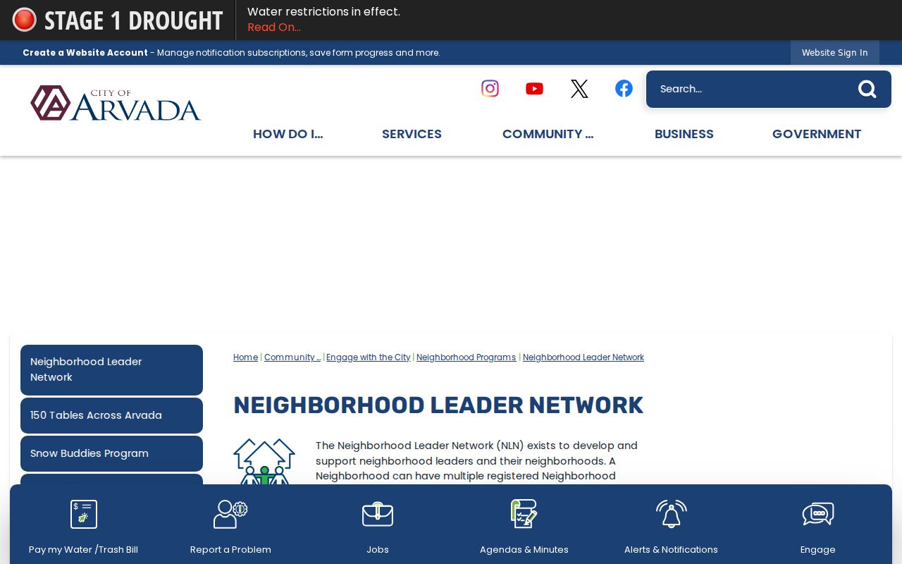
The screen gives a named civic starting point. It does not disclose the members of Allendale, Woodrun, or any other listed group.
Arvada Development Meetings Leave Records
The city’s Development Neighborhood Meetings page says property owners, HOAs, neighborhood groups, and interested residents can participate in development proposals. Notices, agendas, comments, resolutions, and project documents can therefore explain a visible block change without publishing a member roster. Save the project name, document date, and meeting date with the map observation.
City MuniDocs and public-record request routes can add material that is not in a simple map popup. A permit or development record may show a site address, contractor, inspection, or project contact. It does not convert that contact into a current neighbor. For a missing city record, request the department, date range, address, and project number through the city’s records route.
Recent project pages make the date rule important. Arvada’s water-treatment acquisition and proposed annexation materials for 6809 State Highway 93 describe land, existing structures, and a boundary process. A block researcher should compare the current city map, county status, permit record, and deed date rather than assume a postal Arvada label answers every jurisdiction question.
Arvada Neighbor Voter Matches
Colorado’s public lookup requires first name, last name, ZIP, and birthday for one person. It cannot search a block, street, or ZIP as a public roster. If a known person does not match, try a previous ZIP as the state page advises, check a name variation, or contact Elections. A protected voter, under-18 record, or confidentiality status may not locate.
| Voter information | Public or restricted boundary |
|---|---|
| Full name, residential address, party affiliation, birth year | Public fields under Colorado guidance, subject to statutory exceptions |
| Party date, optional phone or gender identity, prior participation | May be present in the public file when provided |
| Full birthday, signature, email, SSN, license number | Confidential; the birthday is a matching input, not a public display field |
| Protected-voter or ACP address | Do not publish, reconstruct, or join it to a parcel map |
Jefferson Elections is at 3500 Illinois Street, Suite 1100, Golden, 303-271-8111, Monday through Friday from 8 to 5, and links voter-list and data-request information. A full file is a separate controlled product with SOS or county rules, fees, and secure-use conditions. A neighbor lookup should verify one known registration, not claim that every nearby voter has been identified.
Arvada Neighbor Privacy Limits
A parcel record can show a recorded owner, property address, tax mailing address, legal description, value, or sale history. The mailing field may belong to another property, a post-office box, an agent, or a care-of line. A permit applicant can be a contractor. Household members, people present at a location, utility customers, delivery data, unlisted subscribers, protected voters, and confidential vital-record subjects are not a public block directory.
| Source category | Useful strength | Limit |
|---|---|---|
| Official parcel, deed, voter, court, or civic record | Named custodian, stated fields, and a source-specific access rule | Coverage, date, confidentiality, and owner-versus-person limits remain |
| Commercial neighbor-lookup category | May combine public extracts, old addresses, directories, and filings | Freshness and identity matching vary; duplicates, obsolete data, and opt-out gaps are possible |
Privacy boundary. Physical adjacency does not establish a personal relationship. Use Arvada parcel and civic records for lawful research, reconnecting, and safety awareness, never to watch, harass, intimidate, or expose a protected person.
Colorado’s Address Confidentiality Program provides a substitute address and mail forwarding for qualifying people, and county confidential-voter procedures can suppress qualifying addresses. The safest block note describes the map and source, not an assembled private roster.
Arvada Metro District Records
The city’s Metro Districts map adds a governance layer to a block study. GEOS Neighborhood Metropolitan District is one named public district in the research set. District boundaries and board or document records can explain who handles a public function or project, but a district is a civic entity, not a list of household members.
Pair the district layer with jMap’s boundary, subdivision, zoning, and flood layers, then check a meeting document or official project page for the date. The result is a more useful account of a block’s public setting: parcel geometry, land-use context, civic association route, and governance record. It remains distinct from a current neighbor list.
Safe Arvada Neighbor Corrections
A reproducible block note should preserve the jMap web-map date, starting address, PIN/AIN, scale, visible layers, and any project or permit number. An adjacent polygon may be split by a road, alley, subdivision line, city boundary, or condominium structure. “Adjacent” should mean the mapped relationship observed on the date captured, not a claim that every nearby person was found.
Use the custodian that owns the disputed field. Ask the Assessor about a parcel fact, the Clerk and Recorder about an instrument, the city about a permit or meeting file, Elections about a registration issue, and the relevant court or CBI office about a mistaken public-safety or case result. If an unsolicited letter claims deed activity, verify the reception number through Jefferson’s official Recording Notification Service; an alert is a notification, not a court finding.
- Save the source URL, access date, map scale, and record or project number.
- Compare the parcel ID and legal description before repeating a name or address.
- Send a narrow correction or records request to the responsible custodian.
- For a scam, fraudulent filing, or threat, preserve the message and use the official AG, recorder, police, or emergency route.
Public-safety tools have narrow purposes. The Colorado offender registry warns that a name and birth-date match is not positive identity, the list is incomplete, and status can change. It should never be used as a general way to label Arvada neighbors.
The registry warning and public-list limits appear on the official Colorado registry page represented in the capture.
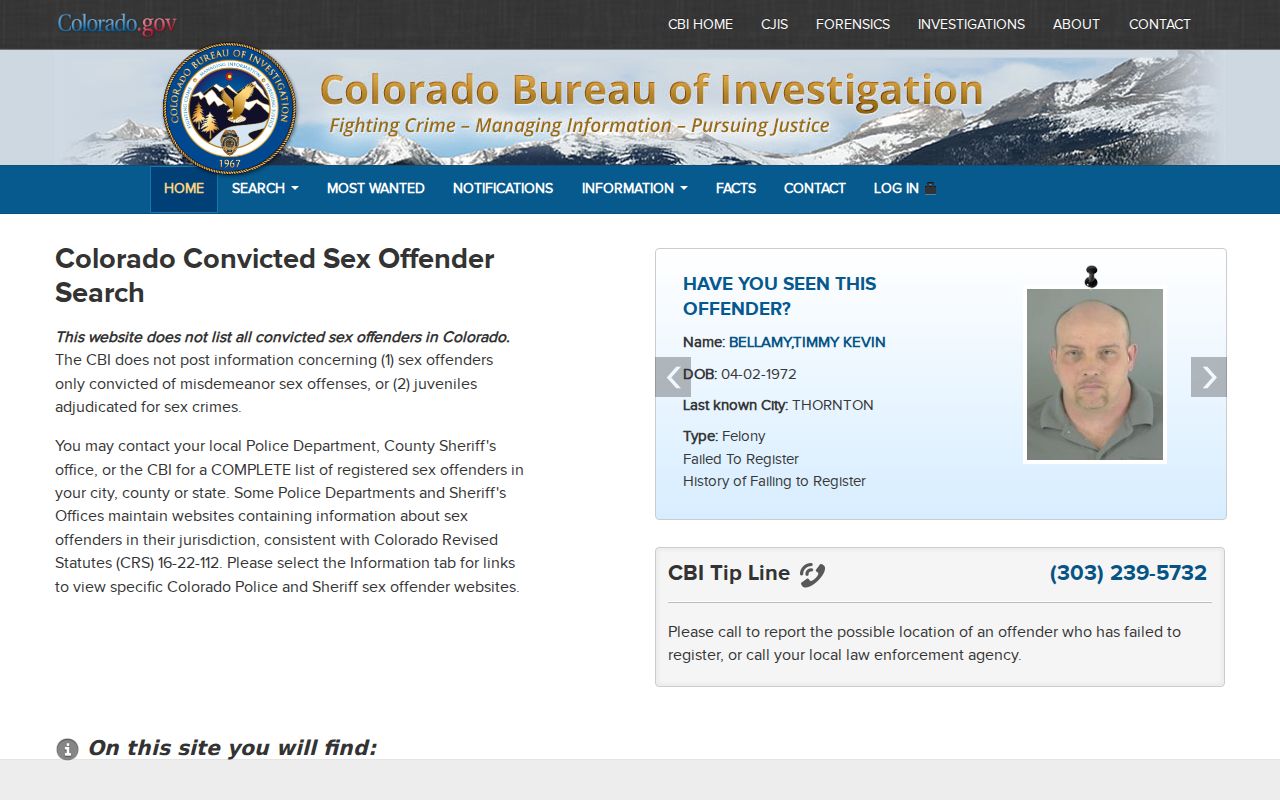
The screen is a reminder to verify identity and purpose with the custodian, keep an access date, and avoid turning a public notice tool into a private block roster.